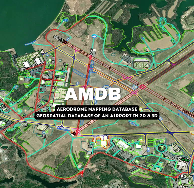


The AMDB is SATPALDA’s cost-effective solution for global aviation to support airport pre-planning and design, airport layout plans (ALPs), airport security, navigational mapping, and aviation safety operations. It provides a highly accurate and detailed map of aerodrome features and elevation data of the local terrain and obstacles, which is crucial for airport planning activities.
An AMDB is a spatial database of an airport. An AMDB dataset describes the spatial layout of an aerodrome in terms of features (e.g. runways, taxiways, and parking stands) with geometry described as points, lines, or polygons and with attributes (e.g. surface type) providing further information. Explore
eTOD is the digital representation of terrain and obstacles provided as datasets satisfying user requirements for a series of airborne and ground applications. Explore
+

About Us
With twenty years of rich experience and expertise, SATPALDA is a leading brand in the Geospatial as well as IT / Engineering Services and a certified provider of various remote sensing solutions. The company has a team of experts with thousands of man-hours of production experience in mapping, photogrammetry, planimetric mapping, and IT development services and has successfully executed many projects globally.
SATPALDA's Solutions